Locate
Confirm parcel, zoning district, planning subarea, school district and any historic overlay.
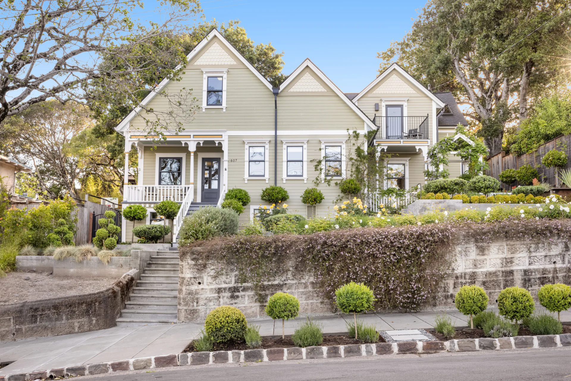
Petaluma · Property research
Start with Petaluma’s parcel, zoning and General Plan maps, then confirm permitted use and project feasibility with the City. Historic status, flood exposure and prior permits can materially change the diligence path.
Due diligence
Confirm parcel, zoning district, planning subarea, school district and any historic overlay.
Review flood, fire, seismic, viewshed, access and utility information relevant to the address.
Pull permit records and compare the documented use and improvements with what exists.
Ask the City or the appropriate agency before treating a map layer as approval for a project or use.
Official tools
Use this source for current parcel, planning or hazard context, then confirm material conclusions with the responsible agency.
Open source (opens in a new tab)Use this source for current parcel, planning or hazard context, then confirm material conclusions with the responsible agency.
Open source (opens in a new tab)Use this source for current parcel, planning or hazard context, then confirm material conclusions with the responsible agency.
Open source (opens in a new tab)Owning here
Insurance, utilities, drainage, vegetation, access, maintenance and taxes all change what a property costs to own. Worth identifying early rather than after closing.
Online maps are screening tools. They are not surveys, title reports, permit approvals, engineering opinions or insurance commitments.
Related library
Get in touch
Area context only goes so far. The particulars of one property are a conversation, and a free custom valuation is a practical place to start it.